SPATIAL SOLUTION SPECIALISTS
3D Modelling Services
Power your next project with our high-precision 3D laser scanning, cadastral surveying and modelling solutions for construction, engineering and infrastructure work.
Laser Scanning and Modelling
High Definition 3D Laser Scanning
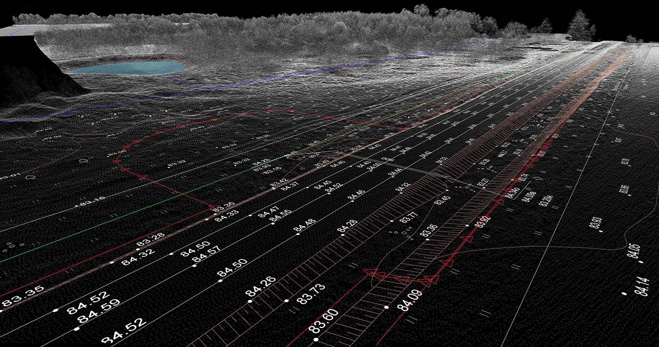
Laser scanning technologies are a revolution for the surveying industry. Allowing surveyors to quickly and cost-effectively collect millions of data points, 3D laser scanning uses sophisticated LiDAR systems to measure objects, terrain, surfaces and buildings. Sunrise Surveying makes use of the latest 3D laser scanning technology to inform our surveys and ensure clients are supplied with the information their projects require.
As a surveyor Rockhampton wide, our high definition scanners collect detailed point clouds from the objects we scan, giving us the ability to produce more refined results and inform our Building Information Modelling services.
Building Information Modelling
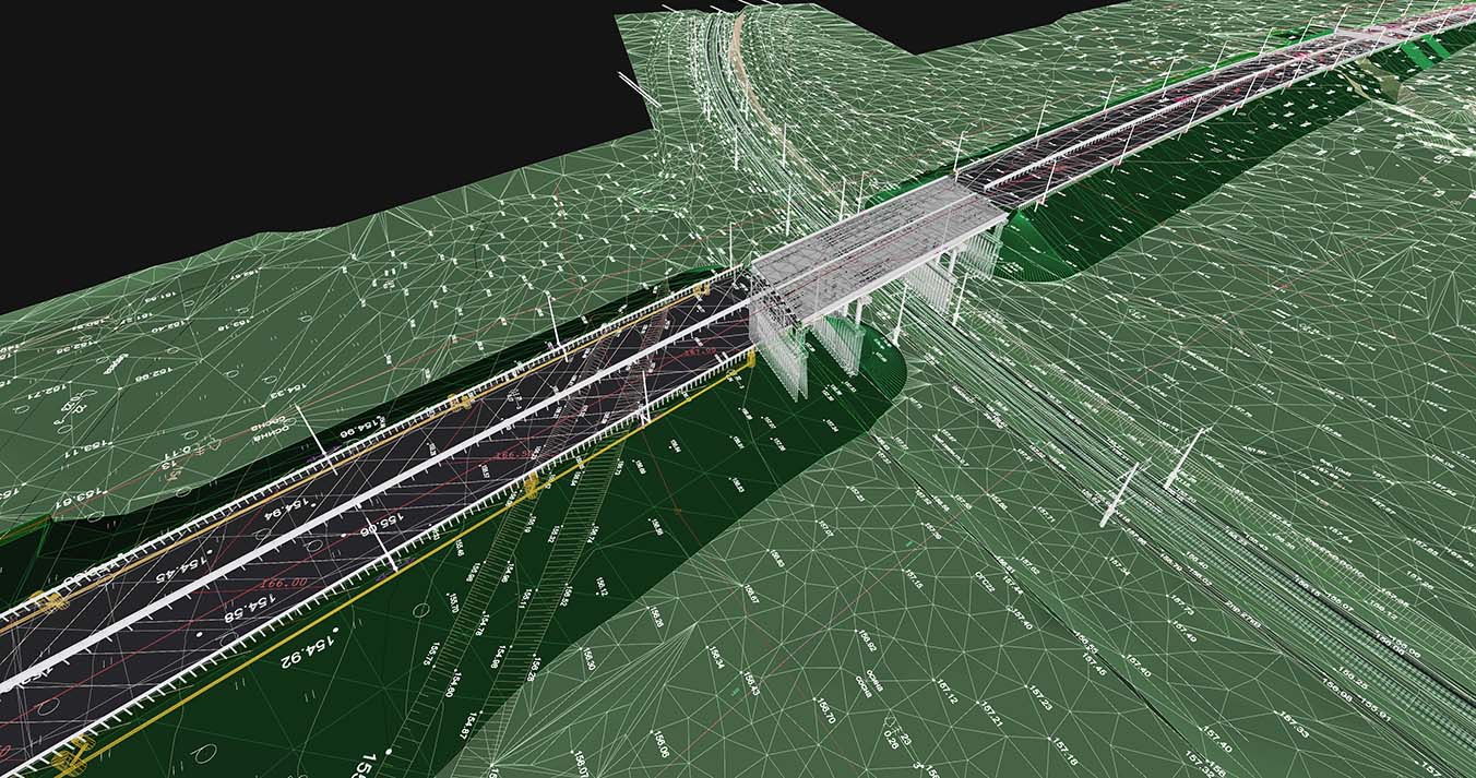
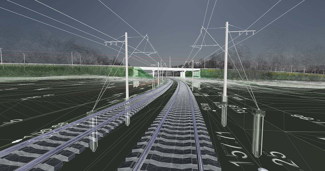
3D laser scanners collect thousands of points of data from the buildings and landscapes they measure. This data is useful for basic measurements, but it can also be used for advanced Building Information Modelling and to create 3D models of structures and terrain for survey purposes. These 3D models are perfect for works that need to analyse structures of topographic information. Laser scanners are often used as a surveying tool during projects such as:
- Infrastructure planning and construction
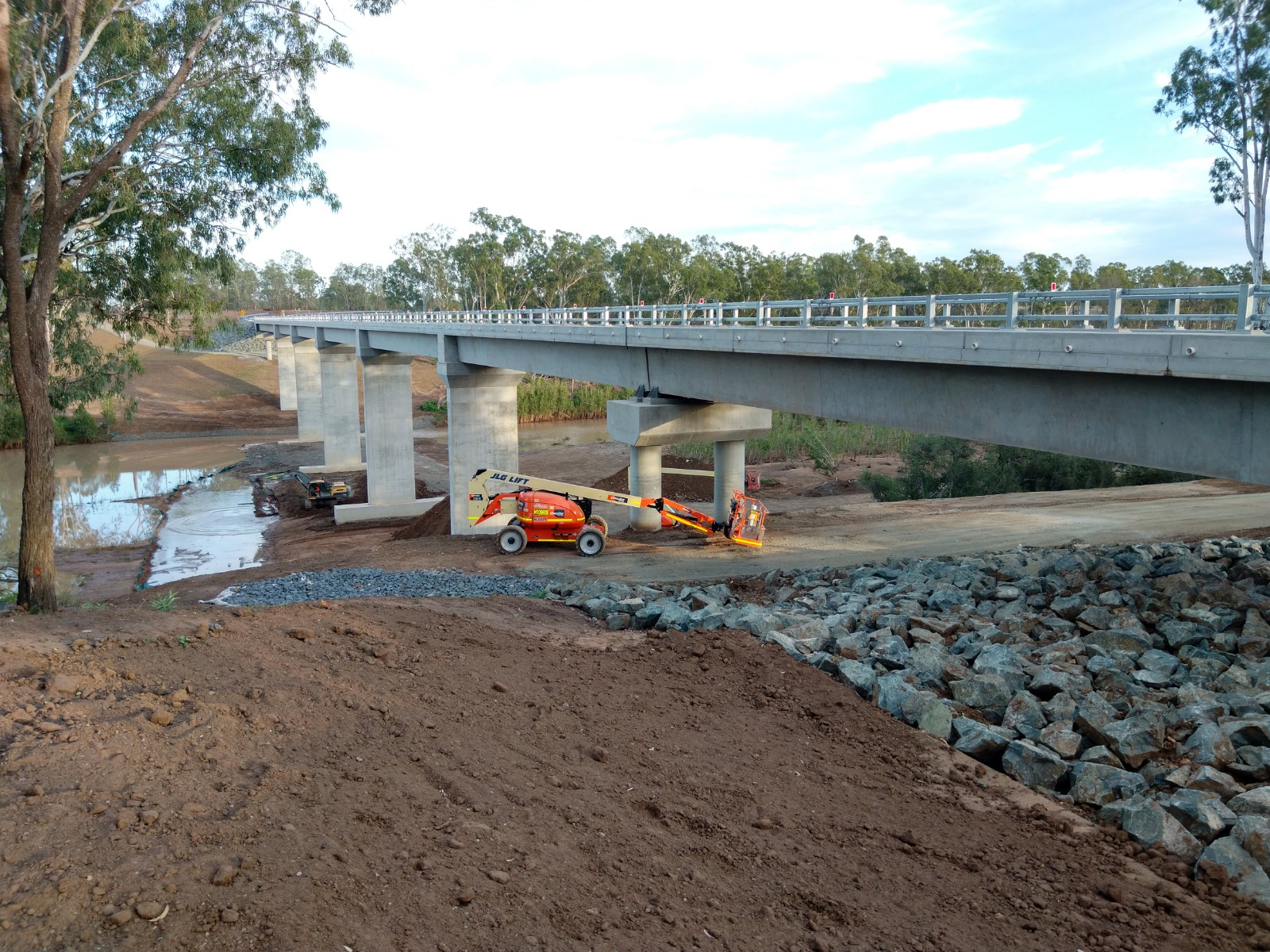
- Monitoring buildings, bridges and railways
- Architectural/Heritage buildings
- BIM (building information modelling)
- Civil Engineering
3D laser scanning by Sunrise Surveying can be used to produce detailed 3D models of structures, terrain and objects, giving our clients advanced information to help plan their projects and make critical engineering decisions.
Cost-Effective 3D Laser Surveying Solutions
Compared to other surveying methods, 3D laser scanners make light work of collecting measurements. With devices that are capable of recording thousands of data points at once, Sunrise Surveying can use laser scanners to quickly and efficiently carry out the studies you need. Because this method is also non-invasive, laser scanning is ideal for use on delicate objects or for Building Information Modelling on completed structures.
As a surveyor Brisbane wide, we perform a wide range of surveys using 3D laser scanners which enable the following deliverables:
- 3D Point Clouds
- Rendered Models
- Digital As-builts
- Digital Terrain Models
- Elevations & Sections
Enquire Today
3D laser scanners form an important part of Sunrise Surveying’s services. Using laser scanners, we collect detailed data and create accurate models of a wide range of buildings, landscapes and other features. Contact our team today for more information on our surveying services and how 3D laser scanners can inform your next project.
